
Details
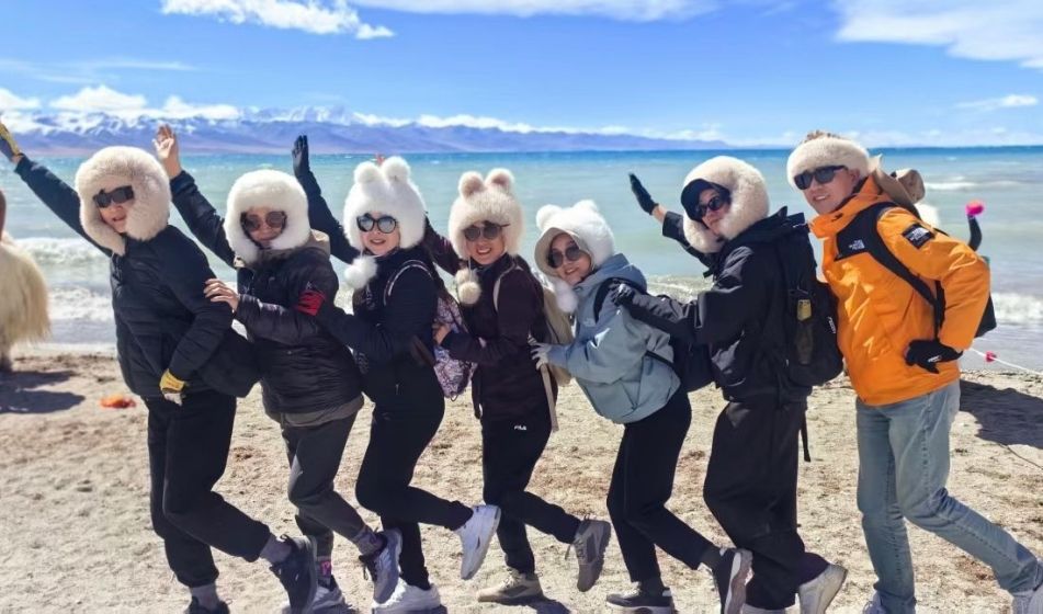
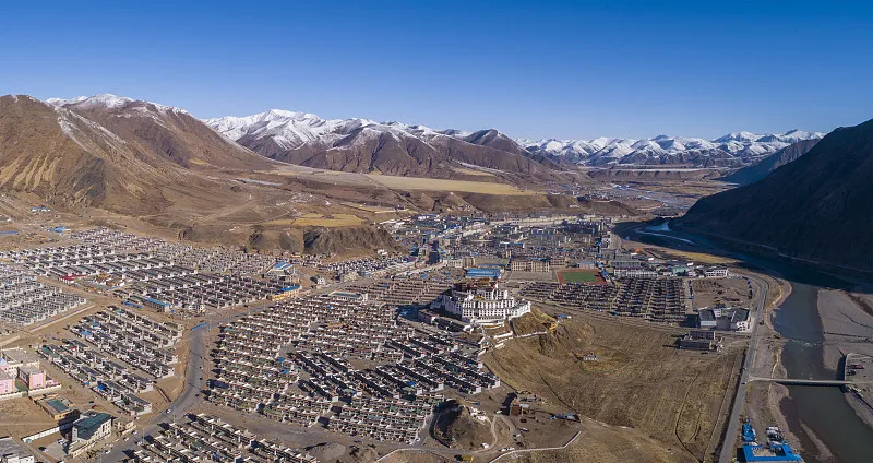
Lhasa Arrival
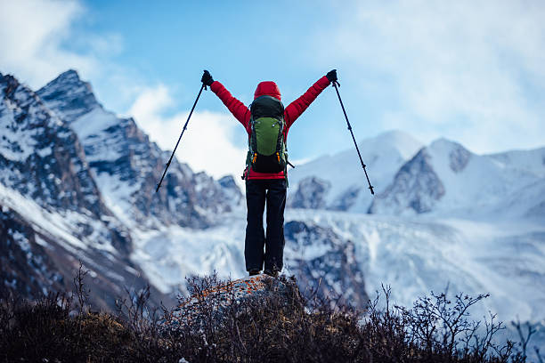
You can choose the recommended flight and buy your ticket to Lhasa. You will meet in Lhasa on the same day. The tour guide and driver will pick you up at the airport. You will then be driven along the Lhasa River Scenic Belt to Lhasa City to feel the pure air of the plateau. After arriving in Lhasa, check into the booked hotel. After arriving in Lhasa, try to avoid going out and have a good rest to adapt to the altitude sickness. You can visit the night view of the Potala Palace in the evening.
Lhasa Airport

Lhasa Railway Station
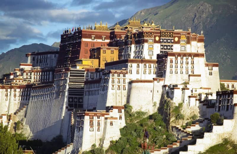
Downtown Lhasa: Potala Palace — Jokhang Temple — Barkhor Street
In the morning, you will visit the Potala Palace, the highest ancient palace-style building complex in the world, the residence of the Dalai Lamas of all generations and the center of political and religious power in Tibet. It contains the golden stupa that holds the Dalai Lamas of all generations and a large number of precious murals, thangkas and Buddha statues, which are the concentrated embodiment of Tibetan culture.
After lunch, you will visit the Jokhang Temple, the earliest Buddhist temple built during the Tubo Dynasty. The temple enshrines a twelve-year-old life-size statue of Sakyamuni that accompanied Princess Wencheng into Tibet. It is the most sacred and effective Buddha statue in the hearts of Tibetan people. Here you can see the piety of the people in worship, and you can also turn the prayer wheel and pray with the people.
Friendly Tips: When entering a Tibetan temple, remember to remove your hat and sunglasses. Refrain from smoking, touching Buddha statues, turning pages of Buddhist scriptures, or ringing bells and drums. Other Buddhist artifacts, such as beads and amulets, should not be touched casually. Some temples prohibit photography; please adhere to these regulations.
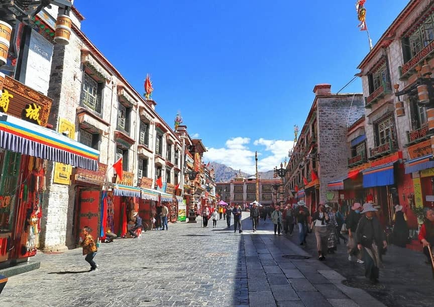
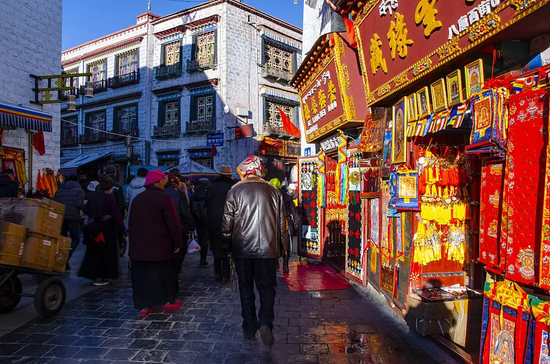
Barkhor Street
Lhasa — Yamdrok Lake — Karola Glacier — Shigatse
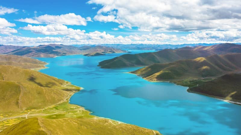
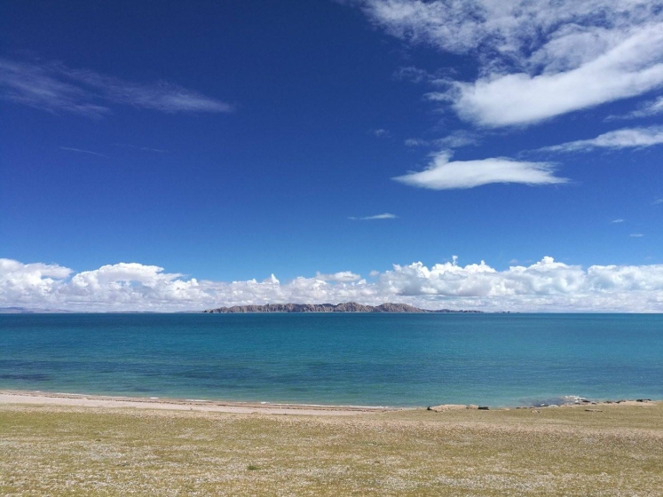
In the morning, we will depart from Lhasa and drive to Yamdrok Lake, one of the three sacred lakes in Tibet with dazzling colors. Yamdrok Lake means “Jade Lake” in Tibetan. Then we will go down the mountain to get close to Yamdrok Lake. The azure blue water is connected to the snow-capped mountains in the distance.
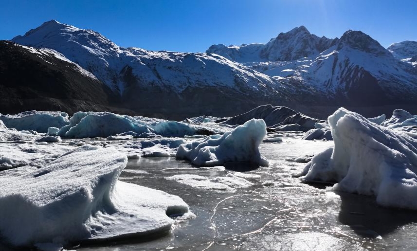
In the afternoon, we will pass by Karola Glacier: feel its majestic grandeur. Glaciers are the geological history written by flowing years and ice and snow, and are great works of art sculpted by time.
Then we will go to Shigatse to check in.
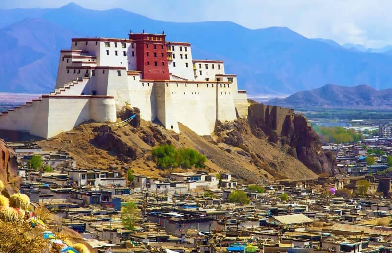
Shigatse
Shigatse — Tingri — E.B.C. — Basong Village
In the morning, you will drive to the new Dingri County seat – Xieger via Lazi. Along the way, you will cross the Jiacuo La Snow Mountain at an altitude of 5,220 meters. When you are about to reach Xieger, you can see the majestic appearance of Mount Everest from afar. Along the way, you will cross the Jiacuo La Snow Mountain Pass at an altitude of 5,220 meters, stop for a while and rush to Dingri.
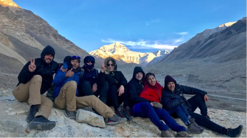
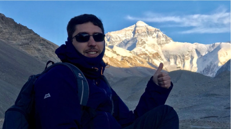
In the afternoon, you will arrive at the world’s highest Mount Everest Nature Reserve. Looking south from the world’s highest temple – Rongbuk Monastery, it is recognized by the world as the best place to look up at Mount Everest. The white pagoda stands tall and the colorful prayer flags flutter. Afterwards, you will take an environmentally friendly car to the Mount Everest Base Camp at an altitude of 5,200 meters, where you will dance with the world’s highest peak, Mount Everest.
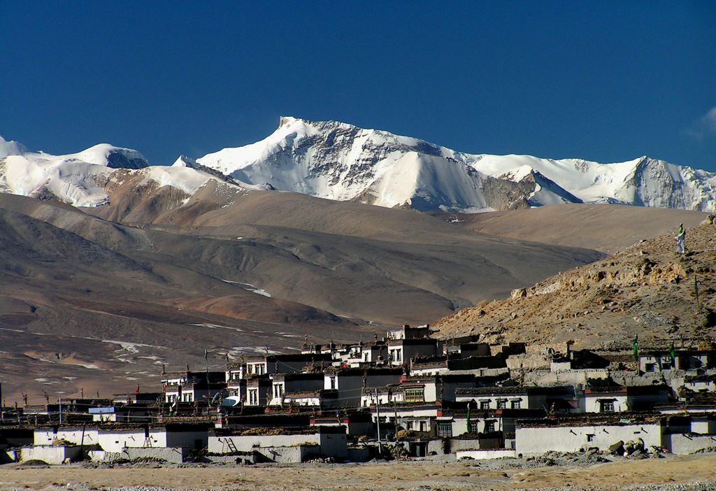
Tingri
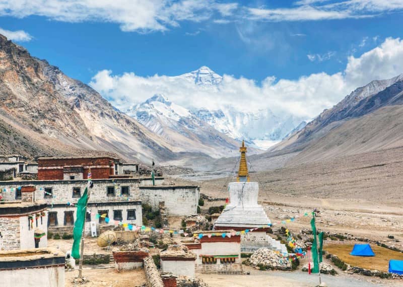
Rongbuk Monastery and Mount Everest
Basong Village — Tingri — Mt.Shishapangma — Peikutso Lake — Saga
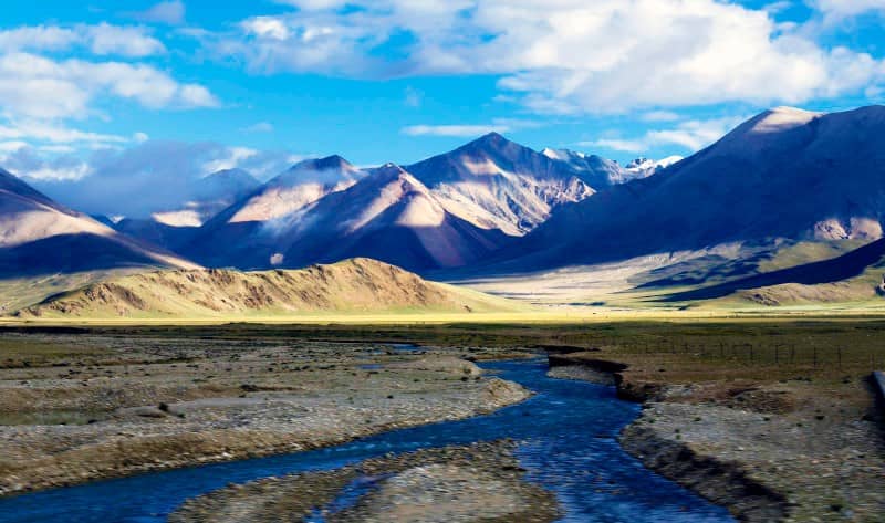
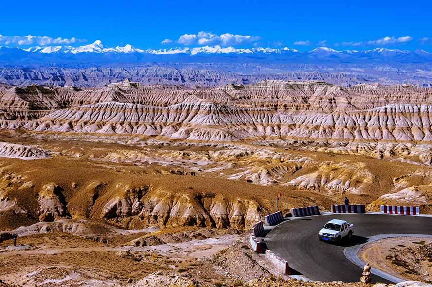
After breakfast, we continued our journey, lingering on our journey to Mount Everest. We admired the mountainous scenery, passing Peikutso Lake, a roadside plateau lake, and gazed upon Shishapangma Mountain, rising 8,013 meters above sea level. We then entered the vast uninhabited area of Saga. Saga is located in the northwest of Shigatse Prefecture. The county’s border stretches 105 kilometers, and National Highway 219 traverses the entire area, connecting it to Shigatse and Lhasa in the east, Ngari and Purang in the west, and bordering Gyirong County and the Kingdom of Nepal in the south.
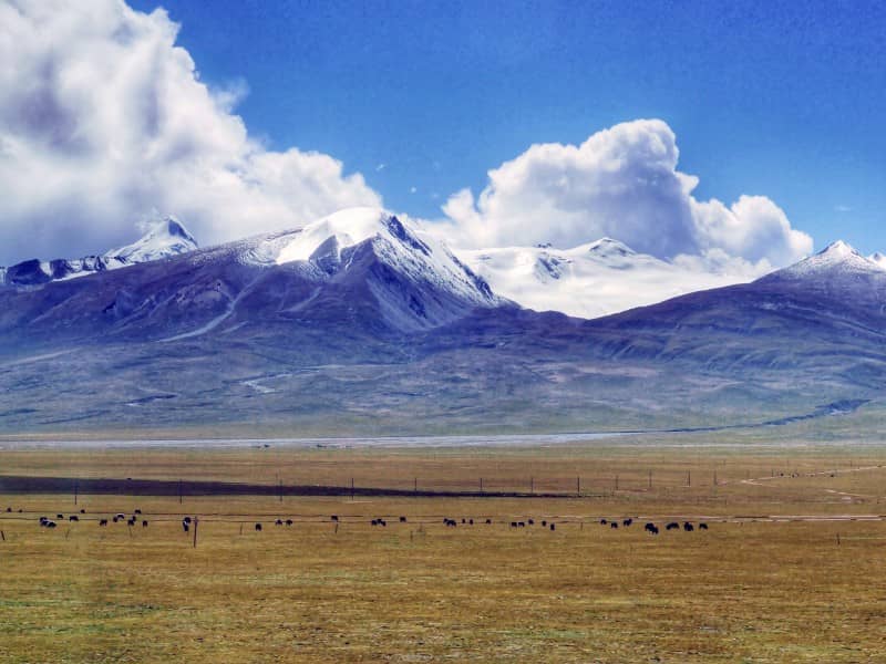
Saga lies at the northern foothills of the Himalayas and the southwestern edge of the Gangdise Mountains, on the upper reaches of the Yarlung Zangbo River. The region boasts sacred mountains, holy lakes, vast grasslands, and herds of yaks. With an average altitude of over 4,600 meters, the county has a typical continental plateau climate, characterized by harsh cold, long winters, short summers, thin air, abundant sunshine, and a large temperature swing between day and night.
Mount Shishapangma
Peikutso Lake
Saga — Zhongba — Maquan River Wetland Park — Darchen
After breakfast, drive along the National Highway G219 and pass through Payang Town, which belongs to Zhongba County. This unique frontier town, at an altitude of 4,700 meters, is the highest town in the world. Continue your journey through the Maquan River Basin, gradually approaching the sacred Mount Kailash and the holy Lake Manasarovar. On the way, visit Lake Rakshastal, also known as the “Ghost Lake.” Overnight stay in Darchen.
Saga
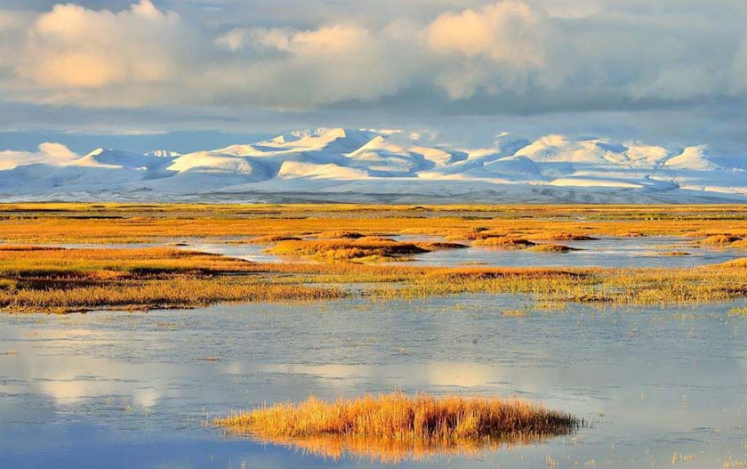
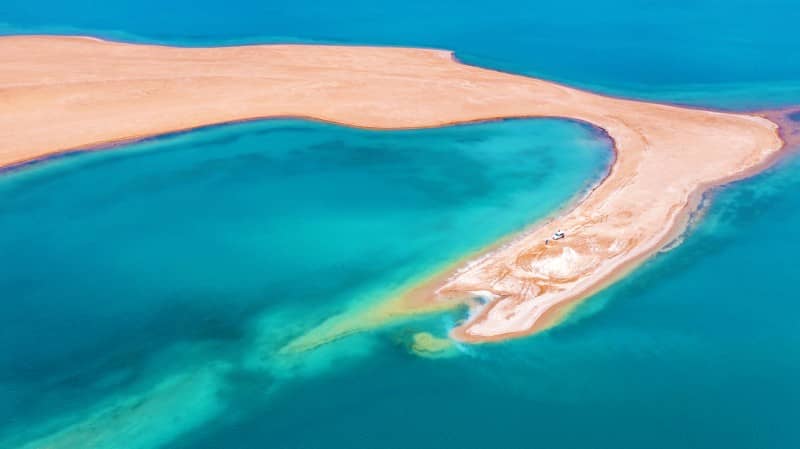
Maquan River Wetland Park
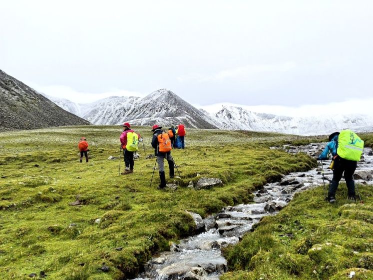
Day 1 of Kailash Kora: Darchen – Drirapuk Monastery (Approx. 20 km: 6 km by eco-bus + 14 km trekking)
Early morning, take the eco-friendly shuttle bus from Darchen into the valley and prepare for the sacred pilgrimage trek (Kora) around Mount Kailash. In the valley, yaks, horses, and porters are available for hire to carry luggage (note: riding animals and porter services are not included in the tour price).
As you begin your trek, take deep breaths, find your rhythm, and walk into this spiritual landscape. Snow-capped mountains and blue skies accompany you, while streams wind their way through the valley. You will see the western and northern faces of Mount Kailash—towering, majestic, and awe-inspiring. After around 22 km of trekking, reach Drirapuk Monastery, where colorful prayer flags flutter in the wind. Rest here, surrounded by devotion and reverence for nature.
Tibet Kora
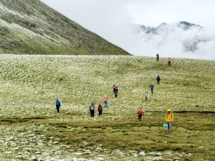
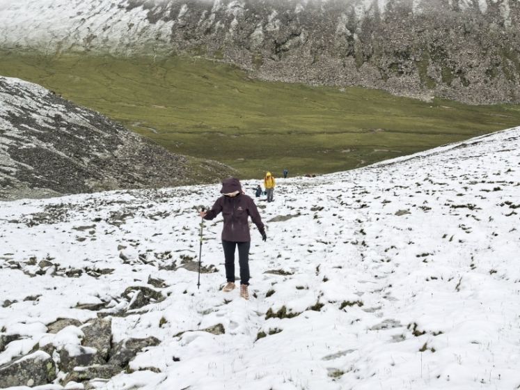
Day 2 of Kailash Kora: Drirapuk — Dzultripuk Monastery (Approx. 20 km, full-day trekking)
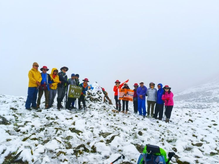
After a night of rest, continue the pilgrimage. Today is the most challenging part of the Kora as you cross the Dolma-la Pass at 5,630 meters. Along the way, you may meet devoted Tibetan pilgrims performing full-body prostrations. The icy trail is slippery, with loose rocks tumbling down the slopes, a reminder of the hardships that pilgrims endure.
At the Dolma-la Pass, multicolored prayer flags dance in the wind. Below lies a small turquoise lake, Tuoji Lake, considered a sacred “Lake of Compassion,” shining like a piece of white jade among the mountains. After crossing the pass, the trail descends, easing the effort. Continue the trek to Dzultripuk Monastery, where you will spend the night.
Tibet Kora
Tibet Kora
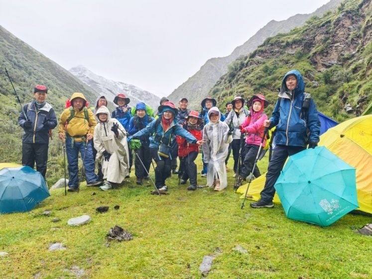
Day 3 of Kailash Kora: Dzultripuk Monastery — Darchen — Zanda (Approx. 11 km: 7 km trekking + 4 km by vehicle)
On the third day of the circumambulation, as the altitude decreased, the color of the surrounding map gradually changed from snow-white to emerald green, and the small animals between the trees began to become active, full of a strong breath of life. Piles of Mani stones, colorfully placed between the snow-capped mountains and grasslands, seemed like monks praying attentively. After completing the last 10 kilometers of hiking, it was noon, and our tour bus had already been here to pick up friends who had completed the circumambulation, and then the bus headed to Zanda County.
Zandan Monastery
Tibet Kora

Tibet Kora
Zanda — Zanda Earth Forest — Guge Kingdom — Darchen
The site of Guge Kingdom is an ancient plateau city. The site of Guge Kingdom is located on a dirt hill by the Xiangquan River in Zhada Feizabu District, Agu, covering an area of about 180,000 square meters. The entire site has 300 house caves, 3 pagodas (more than 10 meters high), 4 temples, 2 halls and 2 underground secret passages. It is divided into upper, middle and lower levels, which are the royal palace, temples and residential houses respectively. The outer wall is built with towers at the four corners. There are many exquisite sculptures and murals in its red temple, white wing and Shuhui temple. The Guge Kingdom was established around the 10th century AD by Jidenima Gun, the great-grandson of Guan Pulangda Ma, the last Turkic dynasty, who led the pro-Sui people to flee to Agu after the dynasty collapsed. From the middle of the 10th century to the beginning of the 17th century, the Guge Kingdom dominated western Tibet, promoted Buddhism, resisted foreign aggression, and played an important role in the history of Tibet after the Tubo Dynasty. The Guge Kingdom, which once had a splendid civilization history of 700 years, its disappearance remains a mystery.
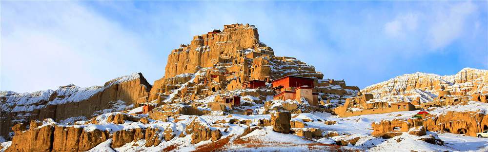
Guge Kingdom
Zanda Earth Forest
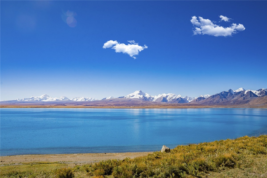
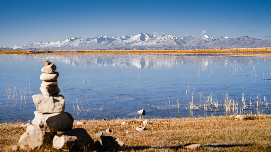
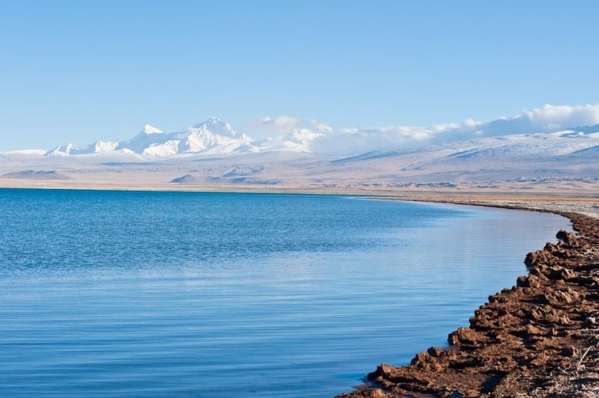
Darchen — Mount Kailash & Lake Manasarovar — Saga
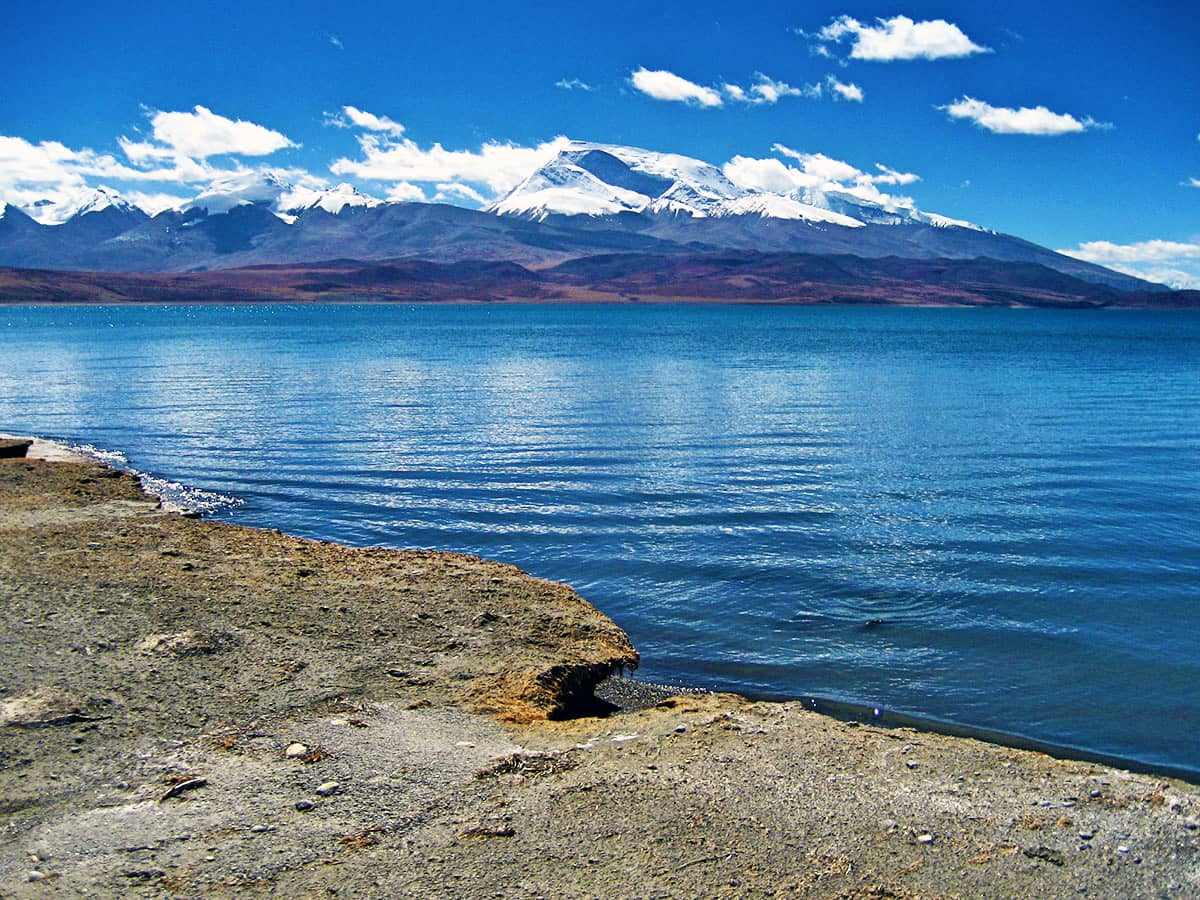
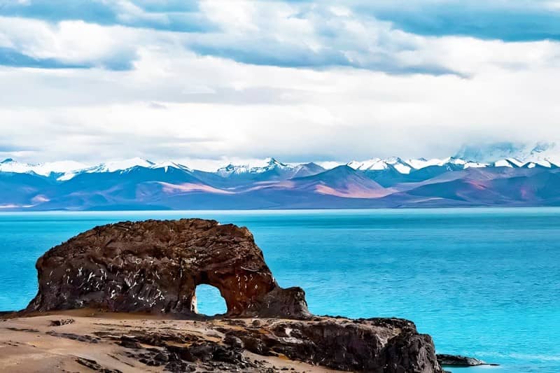
Depart from Darchen in the morning, facing the sunrise between Mount Kailash and Mount Namunani, and head to Saga. En route, stop at Lake Manasarovar, revered as the “Mother of Rivers in the World.” Known in Tibetan as “the Unconquerable Lake,” it is one of Tibet’s three sacred lakes and the clearest freshwater lake in China. This holy site is surrounded by monasteries and ancient relics, with an average altitude of 4,500 meters.
Continue to Gongzhucuo, the first alpine lake you encounter upon entering the Ngari region from the southern route. Its altitude is 4,786 meters, with breathtaking scenery. Arrive in Saga for the night.
Manasarovar Lake
Gongzhucuo
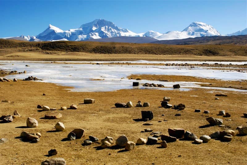
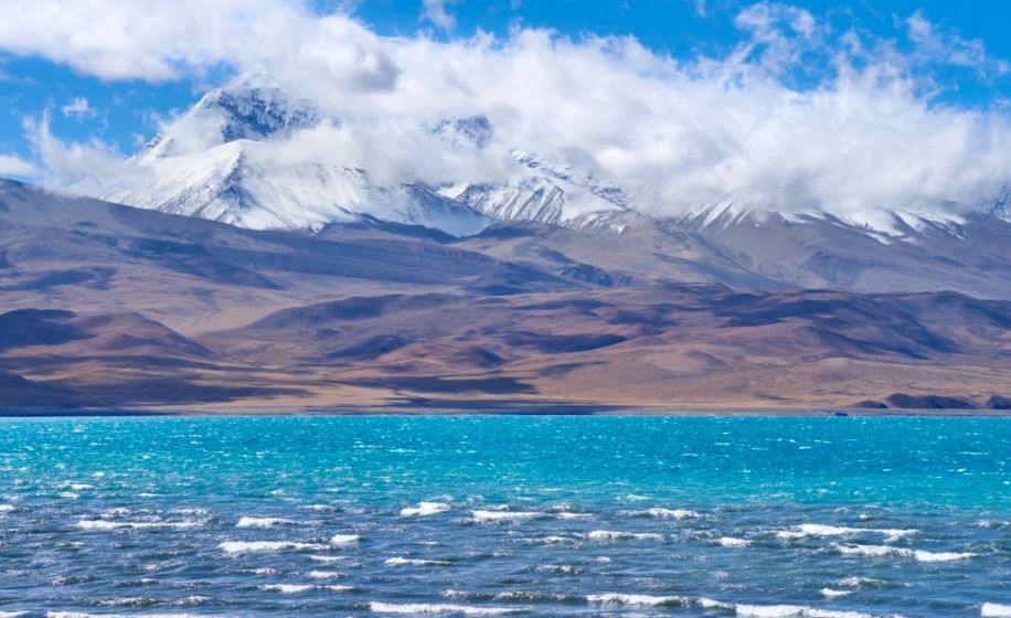
Saga — Peikutso Lake — Shigatse
Today we set out from Saga and pass Peikutso Lake.
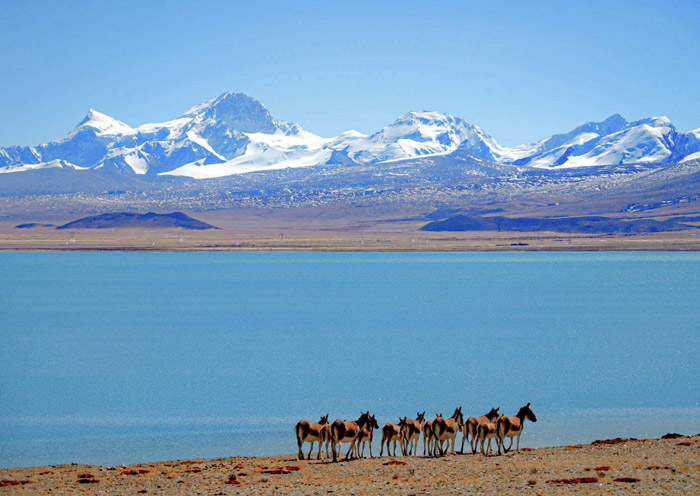
Peikutso Lake is the largest inland lake in the Everest Nature Reserve, with an area of about 300 square kilometers and an altitude of 4,590 meters. The lake is surrounded by mountains on three sides, with an open terrain and abundant fish resources. There are wild horses, Tibetan wild donkeys, Tibetan antelopes, cranes, yellow ducks, gray ducks and other activities on the lakeshore.
Compared with Nam Co, Manasarovar, Selin Co and Yamdrok Lake, Peikutso Lake is not really famous. Fortunately, with the reflection of Shishapangma Peak (60 kilometers to the south of the lake) and the sound of the Yarlung Zangbo River (40 kilometers to the north of the lake), this gourd-shaped alpine lake that represents good luck has a reason for people to be moved and stop.
Peikutso Lake
Peikutso Lake
Shigatse — Jiegangri Sacred Mountain — Serling Tso Lake — Baingoin County
Jiegangri Sacred Mountain is located in Tibet. It is a natural beauty and a sacred place of Tibetan Buddhism. It is majestic and magnificent, showing different styles with the change of seasons. Countless believers come to worship, believing that the sacred mountain contains infinite power and wisdom. The sacred mountain is not only a work of nature, but also a symbol of Tibetan culture.
Lake Serling Tso, formerly known as Qilin Lake and Selindongcuo, is located in Shuanghu County, Shenzha County and Banger County of Nagqu City, Tibet Autonomous Region. The geographical coordinates of the center of the lake are 30.0322~33.1949″ north latitude and 87.2340″~92.1349″ east longitude. The lake surface is about 4530 meters above sea level and the total area of the lake is 2099.13 square kilometers. The lake body is about 72 kilometers long from east to west and about 22.8 kilometers wide from north to south. It is the second largest saltwater lake in China and the largest lake in Tibet after Qinghai Lake.
Serling Tso Lake means “the devil lake with magnificent light” in Tibetan. It is a tectonic lake formed during the formation of the Qinghai-Tibet Plateau and a large deep-water lake. The main rivers entering the lake are Zhagen Zangbo, Zhajia Zangbo, Boqu Zangbo and Ali Zangbo. There are 20 other lakes around Lake Serling Tso, such as Gerencuo, Wurucuo and Co’e. Multiple satellite lakes form an inland lake group.
The inland area of Selin Co is surrounded by mountains on all sides, and the lake basin is flat and open. It is one of the important animal husbandry bases in northern Tibet and the Shenzha Wetland Nature Reserve that protects black-necked cranes and ecosystems. The lakeside grasslands are home to rare birds such as black-necked cranes, bar-headed geese, brown-headed gulls, and mallards, as well as mammals such as Tibetan antelopes, Tibetan gazelles, wild donkeys, argali, and snow leopards.
The ecological environment of Selin Co is rich and diverse. The basin belongs to the plateau cold zone semi-arid monsoon climate zone, with strong solar radiation, long sunshine time, cold winter and spring, warm summer and autumn, and distinct dry and wet seasons. There are many rivers and lakes in the basin that are interconnected, forming a closed inland lake group.
Lake Serling
Baingoin
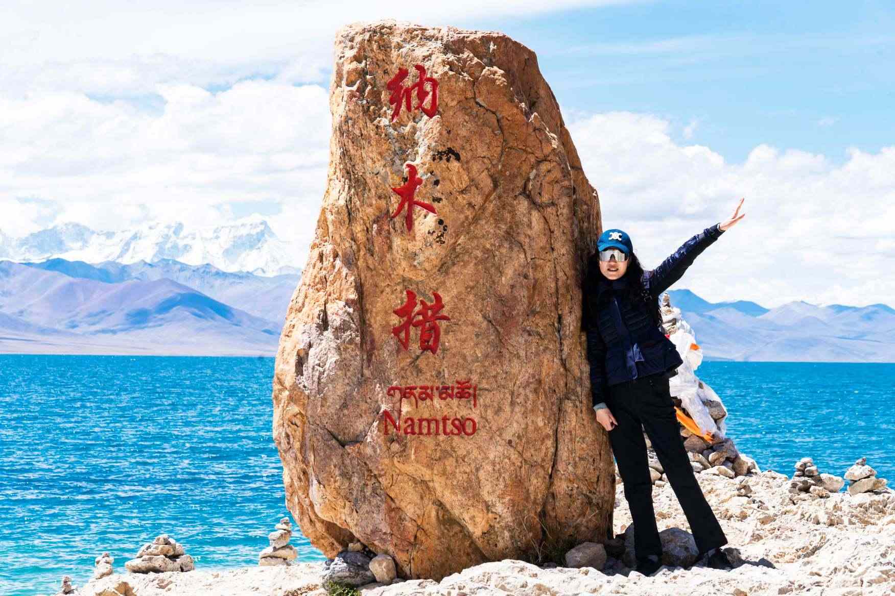
Baingoin County — Namtso Lake(Tashi Peninsula) — Nagenla Pass — Nyenchen Tanglha Mountain-Lhasa
After breakfast, enter Namtso from Baingoin County. Namtso is located in the central part of Tibet Autonomous Region. It is the second largest lake in Tibet and the third largest saltwater lake in China. The lake surface is 4725 meters above sea level. It is known as the “Heavenly Lake” and is one of the “Three Holy Lakes” in Tibet. After visiting Namtso, you will pass through the Nagenla Pass on the way back to Lhasa. The background mountain of Namtso is located on the north side of the Nagenla Pass. The main peak of Nyenchen Tanglha Mountain, Nyenchen Tanglha Mountain Peak, is 7111 meters above sea level and is covered with snow all year round. In Tibetan folk songs and legends, Nyenchen Tanglha Mountain and Namtso are lovers who depend on each other for life and death. Finally, return to Lhasa city.
Namtso Lake
Nyenchen Tanglha Mountain
Lhasa Airport Transfer — End of Trip
The pleasant trip to Tibet is over. The hotel includes breakfast in the morning. Our company will send guests to the airport or railway station based on their return train tickets or air tickets, and they will return to their warm home.
Fee Description
Friendly Tips
Contact us for a customized pilgrimage itinerary.