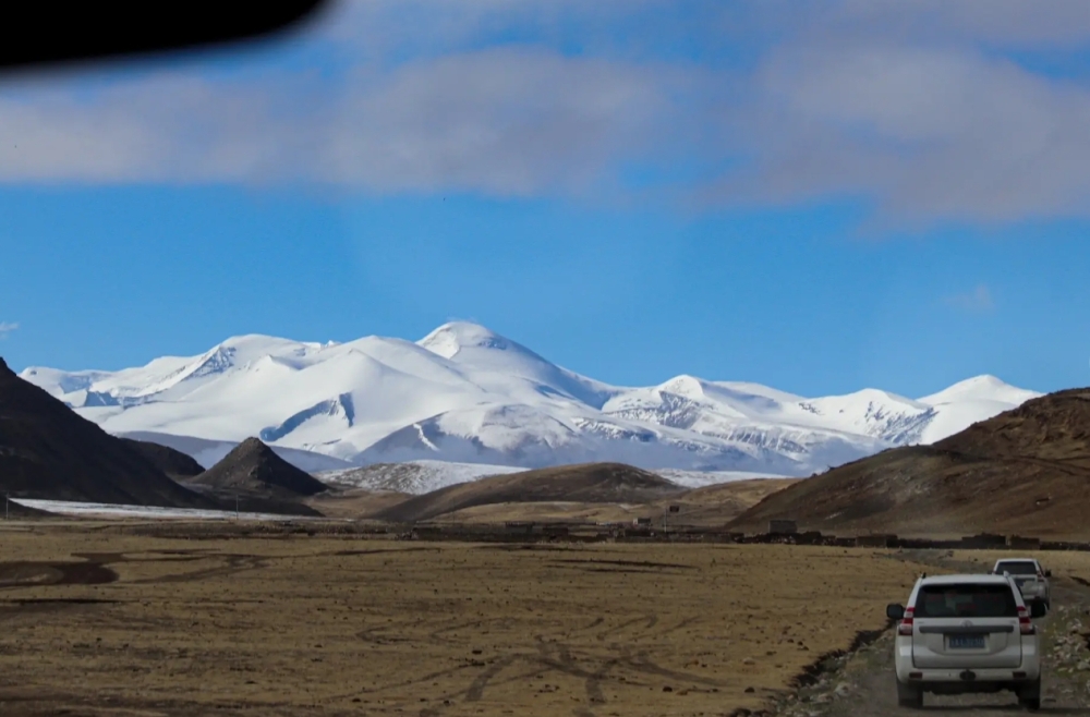

Tibet is globally renowned for its staggering elevations, earning it the title “Roof of the World.” However, when travelers and geographers ask where the highest-altitude region in Tibet is located, the answer points directly to the far western corner of the plateau: Ngari Prefecture, also known as Ali. Sitting at an average elevation of over 4,500 meters, Ngari is a land of extremes. It is defined by vast, uninhabited expanses, towering snow-capped peaks, and ancient cultural sites that have drawn pilgrims for centuries. Unlike the more accessible areas around Lhasa or Shigatse, Ngari remains a frontier destination. Understanding the geography, climate, and logistical challenges of this extraordinary region is essential for anyone planning to explore the ultimate heights of the Tibetan Plateau.
Key Points
- The highest-altitude region in Tibet is Ngari (Ali) Prefecture, with an average elevation exceeding 4,500 meters.
- Ngari is home to Mount Kailash, one of the most sacred peaks in multiple religions, standing at 6,638 meters.
- High-altitude lakes such as Lake Manasarovar and Pangong Tso define the dramatic landscape of this remote area.
- Proper acclimatization is critical before traveling to the highest-altitude region in Tibet due to the thin air and harsh conditions.
- Reaching Ngari requires careful planning, specialized permits, and reliable transportation across rugged terrain.
Identifying the Highest-Altitude Region in Tibet
To understand why Ngari holds the title of the highest-altitude region in Tibet, we must look at the broader topography of the Tibetan Plateau. While the entire autonomous region sits at an average elevation of about 4,000 meters, the terrain rises significantly as you move westward. Ngari Prefecture covers approximately 450,000 square kilometers but is home to a very sparse population, largely because the environment is so demanding. The prefecture shares borders with India, Nepal, and the disputed regions near Kashmir, placing it at the geopolitical and geographic edge of the plateau.
The elevation in Ngari rarely drops below 4,200 meters, even in its lowest valleys. Most towns, nomadic settlements, and monasteries are situated between 4,500 and 5,000 meters above sea level. This immense height creates an environment where oxygen levels are roughly half of those found at sea level. The landscape here is not characterized by lush valleys or dense forests; instead, it is a stark, arid expanse of alpine steppe, rocky outcrops, and glacial moraines. The Changtang Nature Reserve, which extends into northern Ngari, represents some of the most untouched and elevated wilderness on the planet.
Comparing Ngari to other well-known Tibetan regions highlights its extreme nature. Lhasa, the capital, sits at about 3,650 meters. Shigatse is slightly higher at around 3,800 meters. Even Everest Base Camp, while reaching over 5,200 meters, is typically accessed from lower-elevation staging areas. Ngari, conversely, demands that travelers live, sleep, and journey continuously at altitudes that would be considered peak elevations elsewhere. This persistent, unrelenting height is what truly defines the highest-altitude region in Tibet.
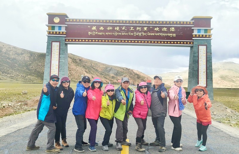
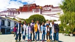
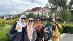
Ngari Tourist Photos
Mount Kailash: The Crown Jewel of the Highest-Altitude Region in Tibet
No discussion about Ngari is complete without mentioning Mount Kailash, the spiritual and geographical heart of the region. Standing at 6,638 meters, Mount Kailash is not the tallest peak in the Himalayas or the Transhimalaya range, but it is arguably the most revered. Its distinct, symmetrical pyramid shape rises dramatically from the surrounding barren plains, making it an unmistakable landmark. For Hindus, Buddhists, Jains, and followers of the Bon religion, this mountain is the center of the universe, a place where the earthly and divine realms intersect.
The town of Darchen, situated at the southern base of Mount Kailash at an elevation of about 4,675 meters, serves as the starting point for the famous Kailash Kora (pilgrimage trek). The trek itself spans approximately 52 kilometers and takes most travelers three days to complete. What makes this trek exceptionally challenging is not just the distance, but the altitude. Trekkers must cross the Dolma La Pass, which reaches a staggering 5,630 meters. At this elevation, every step requires immense effort, and the weather can shift from bright sunshine to blinding snowstorms within minutes.
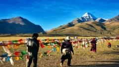
Despite the physical toll, thousands of pilgrims and adventure travelers make the journey to the highest-altitude region in Tibet each year. The sight of prayer flags fluttering against the backdrop of Kailash’s dark, striated rock faces is one of the most iconic images of Tibetan travel. The mountain remains unclimbed out of respect for its religious significance, preserving its pristine and mysterious aura.
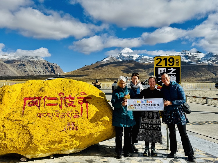
Tourists from China Dragon Travel posing for a photo at Mount Kailash
Sacred Lakes in the Highest-Altitude Region in Tibet
The hydrology of Ngari is deeply connected to its extreme elevation. The region hosts several of the world’s highest freshwater and saltwater lakes, which play vital roles in both the local ecosystem and regional mythology. Lake Manasarovar, located near Mount Kailash at an elevation of 4,590 meters, is considered one of the holiest bodies of water in Asia. According to Hindu and Buddhist traditions, bathing in or drinking the waters of Manasarovar cleanses sins accumulated over lifetimes. The lake is remarkably clear, reflecting the sky and surrounding peaks in stunning detail.
Just a few kilometers to the west lies Rakshastal (Lake Langak), sitting at a similar elevation. Unlike the holy Manasarovar, Rakshastal is associated with darker legends and lacks the same reverence, despite its striking blue waters. The contrast between these two neighboring lakes—one representing light and purity, the other shadow—is a fascinating aspect of the local culture.
Further north, the massive Pangong Tso stretches across the border between Tibet and India. The Tibetan side of Pangong Tso sits at roughly 4,350 meters. This long, narrow lake is famous for its shifting colors, transitioning from deep blue to vibrant turquoise depending on the angle of the sun and the mineral content of the water. Because it is a saltwater lake, it freezes solid during the brutal winter months, creating a surreal, icy landscape. Visiting these lakes requires navigating unpaved roads that wind through some of the most desolate and beautiful terrain in the highest-altitude region in Tibet.

Manasarovar Lake
Ancient Ruins and Cultural Heritage at Extreme Elevations
Beyond its natural wonders, Ngari is rich in historical significance. The Guge Kingdom ruins, located in Zanda County at an elevation of around 3,800 to 4,000 meters, offer a glimpse into a powerful civilization that thrived in this harsh environment from the 10th to the 17th century. Carved directly into the clay cliffs of the Sutlej River canyon, the ruins consist of hundreds of caves, temples, and palaces. The intricate murals and Buddhist statues found within these structures reveal a society that was once a major hub on the ancient trade routes connecting Tibet, India, and Central Asia.
Zanda Earth Forest, which surrounds the Guge ruins, is another geological marvel of the region. Over millions of years, wind and water erosion have sculpted the soft sedimentary rock into towering pillars and deep ravines, creating a landscape that looks almost extraterrestrial. Walking through the earth forest feels like exploring another planet, yet it is entirely native to the highest-altitude region in Tibet.
The Tholing Monastery, also in Zanda, was established in 997 CE and served as a crucial center for the revival of Buddhism in Tibet after a period of decline. Its architecture and surviving artwork reflect a blend of Tibetan, Indian, and Kashmiri influences, highlighting Ngari’s historical role as a cultural crossroads. Today, the monastery stands as a quiet testament to the resilience of human culture at extreme altitudes.

Guge Kingdom
Climate and Environmental Challenges in Ngari
Understanding the climate is essential for anyone intending to visit the highest-altitude region in Tibet. Ngari experiences a cold, arid alpine climate. Winters are exceptionally long and harsh, with temperatures frequently dropping below -30°C (-22°F). The ground remains frozen for much of the year, and heavy snowfall can block mountain passes, isolating towns for weeks at a time. The wind is a constant companion here, sweeping across the open steppes with enough force to make walking difficult.
Summers, spanning from June to August, are brief and relatively mild, with daytime temperatures occasionally reaching 15°C to 20°C (59°F to 68°F) in the lower valleys. However, nights remain cold, and sudden rain or snow showers are common. The intense solar radiation is another environmental factor. Due to the thin atmosphere, ultraviolet rays are significantly stronger than at lower elevations, requiring travelers to use high-SPF sunscreen, sunglasses, and protective clothing constantly.
Vegetation in Ngari is sparse. The landscape is dominated by hardy grasses, low shrubs, and mosses adapted to the short growing season and poor soil. Wildlife, however, is surprisingly diverse. The Changtang plateau supports populations of Tibetan antelope, wild yaks, Tibetan wild asses (kiang), and snow leopards. Spotting these animals against the vast, empty backdrop is one of the unique rewards of traveling through this remote part of the world.
How to Reach the Highest-Altitude Region in Tibet
Accessing Ngari is an adventure in itself. There are no direct international flights or standard commercial trains that drop travelers right into the heart of the prefecture. The primary gateway is Gunsa Airport (Ngari Kunsha Airport), located at an elevation of 4,274 meters. Flights operate from Lhasa and sometimes Chengdu, but they are subject to frequent cancellations due to unpredictable weather conditions.
Most travelers choose to reach Ngari overland, which allows for gradual acclimatization—a critical safety measure. The classic route involves driving from Lhasa to Shigatse, then continuing west through Saga and Zhongba before entering Ngari. This Southern Route covers roughly 1,500 kilometers and takes several days. Along the way, the road ascends gradually, giving the body time to adjust to the decreasing oxygen levels.
Another option is the Northern Route, which traverses the remote Changtang region from Nagqu. This path is significantly rougher, less traveled, and offers fewer amenities, but it provides unparalleled views of the high-altitude wilderness. Regardless of the route chosen, all foreign travelers must obtain a Tibet Travel Permit, an Alien’s Travel Permit for restricted areas like Ngari, and often a Military Border Pass, as the region borders several countries. Independent travel is not permitted; visitors must be part of an organized tour with a registered guide and driver.
Health Precautions and Acclimatization Strategies
Traveling to the highest-altitude region in Tibet carries inherent health risks, primarily Acute Mountain Sickness (AMS). Symptoms include severe headaches, nausea, dizziness, fatigue, and shortness of breath. In extreme cases, AMS can progress to High Altitude Pulmonary Edema (HAPE) or High Altitude Cerebral Edema (HACE), both of which are life-threatening and require immediate descent and medical intervention.
To mitigate these risks, proper acclimatization is non-negotiable. Travelers should spend at least three to four days in Lhasa (3,650m) or Shigatse (3,800m) before heading further west. During this time, avoid strenuous exercise, alcohol, and sleeping pills. Hydration is key; drinking plenty of water helps the body adapt to the dry, thin air. Many experienced guides recommend carrying supplemental oxygen cylinders and portable hyperbaric bags (Gamow bags) for emergencies, especially when crossing passes above 5,000 meters.
Diet also plays a role in high-altitude adaptation. Eating light, carbohydrate-rich meals is easier on the digestive system, which slows down at high elevations. Local staples like tsampa (roasted barley flour) and butter tea are excellent choices, as they provide sustained energy and help maintain body heat. Listening to your body and communicating any symptoms to your guide immediately is the most important rule of survival in Ngari.
Planning Your Journey with China Dragon Travel
Given the logistical complexities, permit requirements, and health risks associated with visiting Ngari, partnering with an experienced agency is highly recommended. China Dragon Travel specializes in organizing comprehensive overland expeditions to the most remote corners of the Tibetan Plateau. Their expertise ensures that travelers navigate the permit bureaucracy smoothly, follow safe acclimatization schedules, and travel in reliable, well-maintained vehicles suited for rugged terrain.
Whether you wish to complete the Mount Kailash pilgrimage, photograph the shifting colors of Pangong Tso, or explore the ancient Guge Kingdom ruins, China Dragon Travel provides knowledgeable local guides who understand the nuances of the highest-altitude region in Tibet. They handle the intricate details—from arranging accommodations in basic guesthouses to ensuring emergency oxygen supplies are always on hand—allowing you to focus entirely on the profound beauty and spiritual depth of this extraordinary landscape.
Exploring Ngari is not a conventional vacation; it is an expedition that tests physical limits while offering unmatched spiritual and visual rewards. By preparing thoroughly and traveling with trusted professionals, adventurers can safely experience the true pinnacle of the Roof of the World.